Mapping Meaning, Ongoing
Mapping Meaning brings together artists, scientists and scholars to explore questions of mental, social, and environmental ecology. Through experimental workshops, exhibitions, and transdisciplinary research, Mapping Meaning supports the creative work and scholarship of those working at the edges, margins and ecotones.
Birding the Future, Ongoing
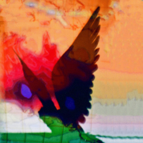
Birding the Future explores current extinction rates by specifically focusing on the warning abilities of birds. The installation invites visitors to listen to endangered and extinct bird calls and to view visionary avian landscapes through stereographs, sculpture, and video.
Studies for Making and Unmaking, Ongoing
Studies for Making and Unmaking brings together digital and analogue projections and performances, curved and pulled by gusting winds, the squeak of technological breakdown, and the distortion of projections on paper.
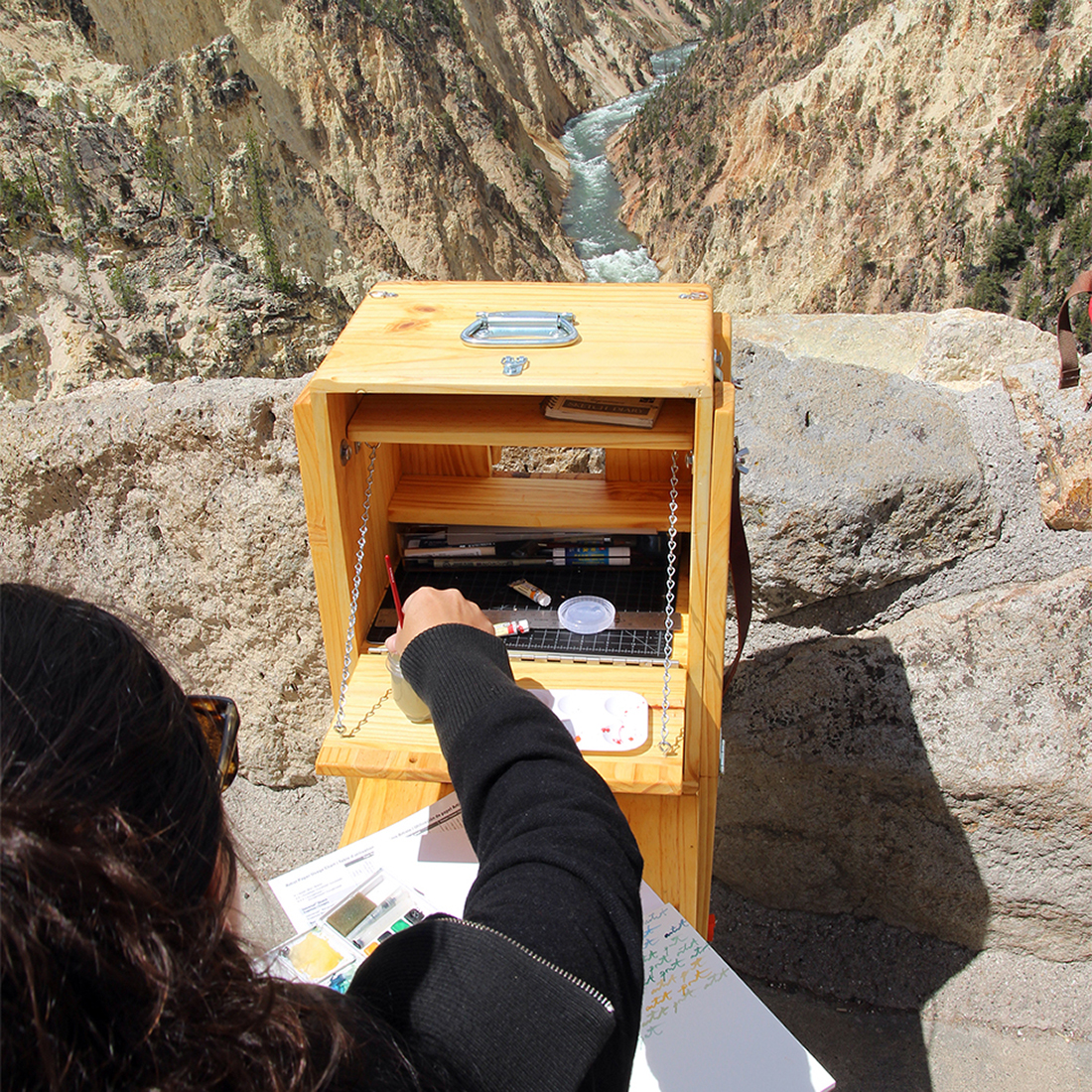
Portable Field Desk(s), 2015-16
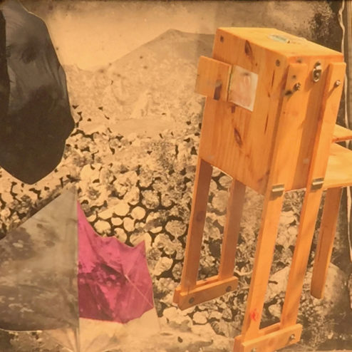
Interactive custom-built sculptures utilized in place-responsive actions and performing of archives.
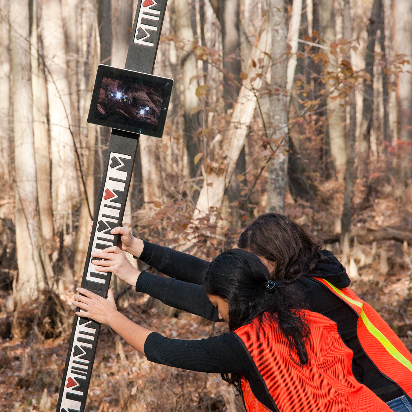
Survival 101, 2010-14
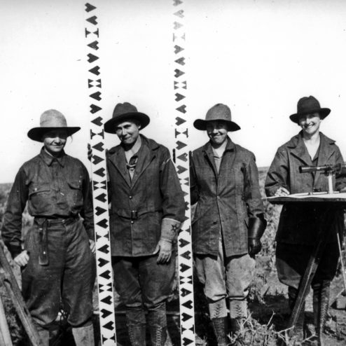
Survival 101 re-imagines leveling rods from a 1918 photograph depicting an all-female survey crew. All symbols are hand-carved in recycled wood and integrate historic designs with barcode references. Video performance is also integrated further playing with notions of obsolete and emerging technologies.
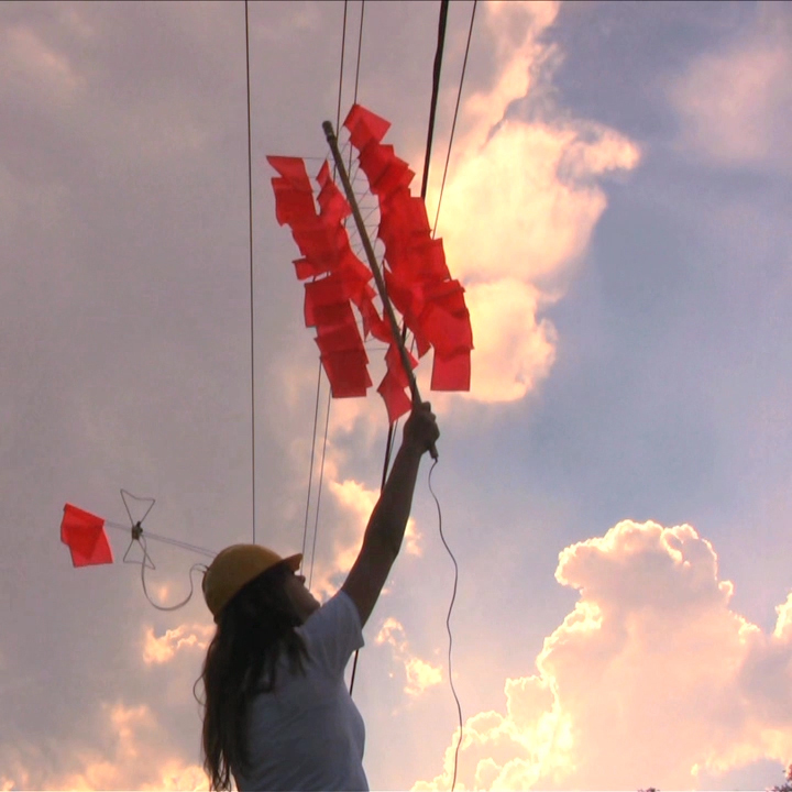
All Appears Orange, 2011
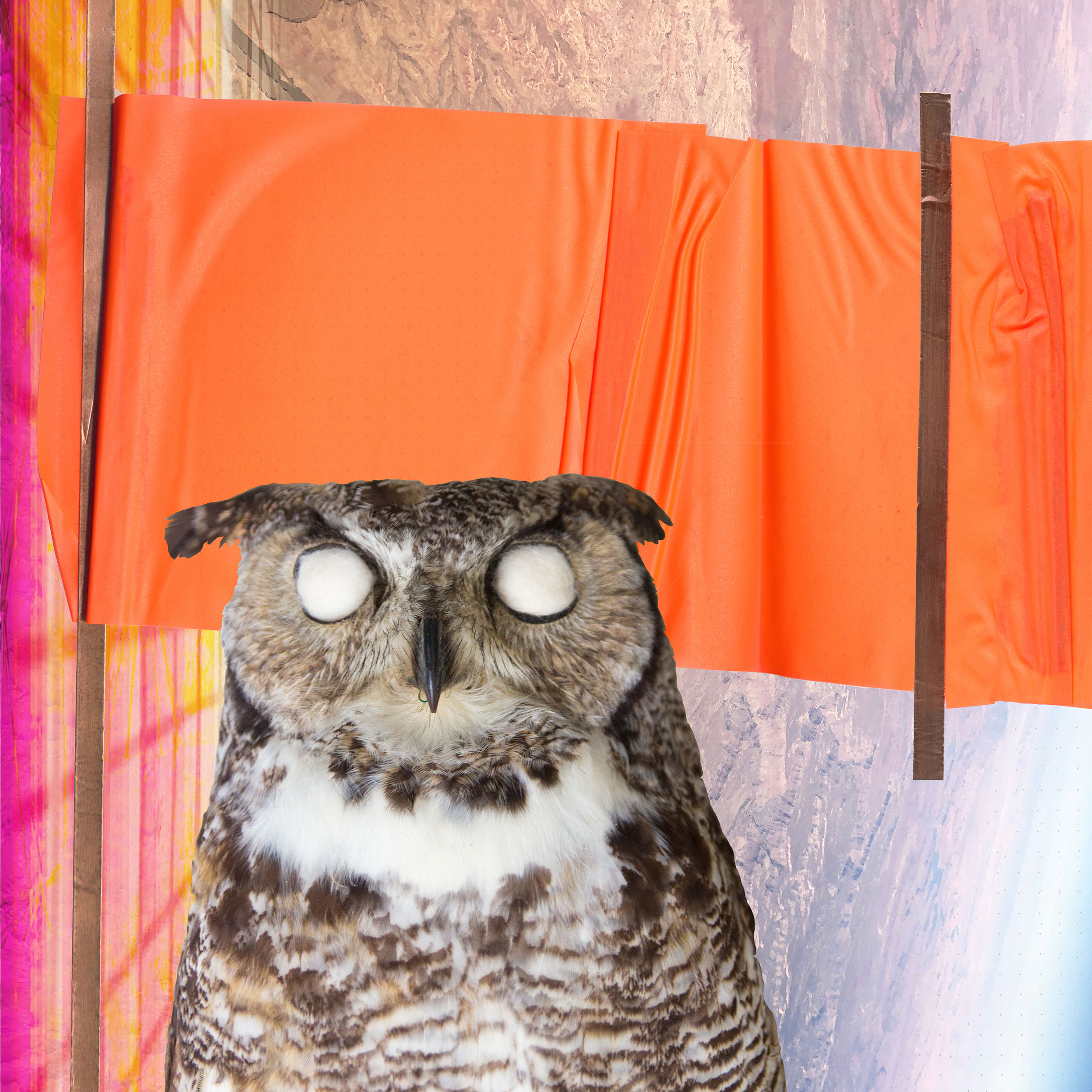
Referencing satellites, antennas, and other technologies of communication, All Appears Orange is a project that investigates disaster and warning systems.
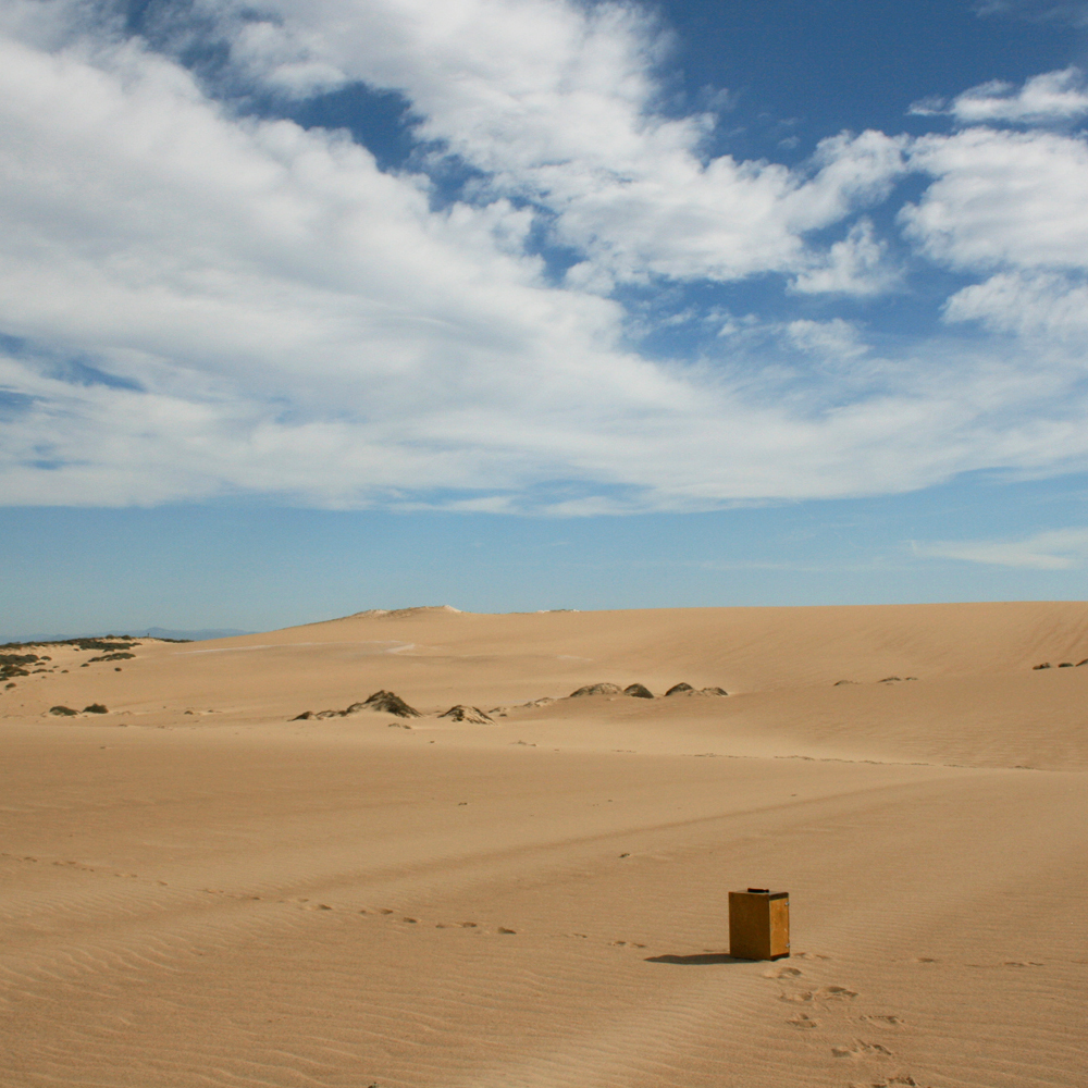
Ground Truthing, 2009
Ground Truthing is a project that investigates the intersections of technology, land use and the environment in the Guadalupe-Nipomo Dunes of California. Though saved by environmental activists from becoming home to a nuclear power plant, these dunes became the site of one of the largest and longest oil spills in US history, called “The Silent Spill”.
Theodolite, Ongoing
This ongoing series was started in 2011 and looks at how advances in technology may or may not be shifting the ways we measure what is “essential.” All photos are taken with “Theodolite,” an augmented reality application that overlays realtime geospatial data on smart phone cameras.
On the Freedom Trail, 2008
Performed in front of the State House in Boston, On the Freedom Trail confronts and challenges issues of poverty within the United States. The statements heard throughout this performance were taken directly from comments posted by users on YouTube.
